 Jeremy Norman’s
HistoryofInformation.com Exploring the History of Information and Media through Timelines
Jeremy Norman’s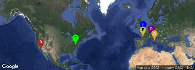
A: Roma, Lazio, Italy, B: Los Angeles, California, United States, C: Charlottesville, Virginia, United States, D: Milano, Lombardia, Italy, E: Pessac, Nouvelle-Aquitaine, France, F: Caen, Normandie, France
In 1997 the Institute for Advanced Technology in the Humanities (IATH) of the University of Virginia, the UCLA Cultural Virtual Reality Laboratory (CVRLab), the UCLA Experimential Technologies Center (ETC), the Reverse Engineering (INDACO) Lab at the Politecnico di Milano, the Ausonius Institute of the CNRS at the University of Bordeaux-3, and the University of Caen, lower Normandy, began collaboration on a project to create a digital model of ancient Rome as it appeared in late antiquity. The notional date of the model is June 21, 320 A.D.
"The primary purpose of this phase of the project was to spatialize and present information and theories about how the city looked at this moment in time, which was more or less the height of its development as the capital of the Roman Empire. A secondary, but important, goal was to create the cyberinfrastructure whereby the model could be updated, corrected, and augmented. Spatialization and presentation involve two related forms of communication: (1) the knowledge we have about the city has been used to reconstruct digitally how its topography, urban infrastructure (streets, bridges, aqueducts, walls, etc.), and individual buildings and monuments might have looked; and (2) whenever possible, the sources of archaeological information or speculative reasoning behind the digital reconstructions, as well as valuable online resources for understanding the sites of ancient Rome, have been made available to users. The model is thus a representation of the state of our knowledge (and, implicitly, of our ignorance) about the urban topography of ancient Rome at various periods of time. Beyond this primary use, the model can function in other ways. It can be used to teach students or the general public about how the city looked; it can be used to gather data not otherwise available, such as the alignment of built features in the city with respect to each other or to natural features and phenomena; and, it can be used to run urban or architectural experiments not otherwise possible, such as how well the city or the buildings within it functioned in terms of heating and ventilation, illumination, circulation of people, etc. Finally, a digital model can be easily updated to reflect corrections to the model or new archaeological discoveries."
"Starting on June 11, 2007, when the model of ancient Rome was first shown publicly at a ceremony in Rome, a number of video fly-throughs and static images of the model were posted for free public viewing online. In August, 2008, the alpha version of Rome Reborn 2.0 was demonstrated at SIGGRAPH held at the Los Angeles Convention Center. In November, 2008, the latest version of Rome Reborn 1.0 was published to the Internet as in Google Earth." (quotations from the Rome Reborn website of the Institute for Advanced Technology in the Humanities at the University of Virginia, accessed 01-21-2009)

