 Jeremy Norman’s
HistoryofInformation.com Exploring the History of Information and Media through Timelines
Jeremy Norman’s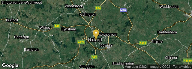
A: Oxford, England, United Kingdom
.jpg "Gough Kaart (hoge resolutie)")
A relatively high resolution image of the Gough Map. North is to the left.
Named after English antiquarian, collector and scholar Richard Gough, who donated the map to the Bodleian Library in 1809, the Gough Map or Bodleian Map is the oldest surviving road map of Great Britain. Gough is believed to have acquired the map from the collection of lawyer, antiquarian and collector "Honest Tom" Martin in 1774. As Gough wrote in 1780,
"The late Mr. Thomas Martin shewed to the same society (Soc. of Antiquaries) at the same time (1768) a map on vellum, which he supposed to be of the age of Edward III in which the names of London and York were distinguished by large gold letters. This map I purchased at a sale of his MSS, 1774, and shall subjoin the following account of it, to illustrate the copy made by Mr. Basire, pl VI. It is drawn on two skins of vellum, in a style superior to any of the maps already described... The roads are marked by lines, and even the miles in each stage. But the greatest merit of this map is, that it may justly boast itself the first among us wherein the roads and distances are laid down" (Gough, British Topography. Or, an Historical Account of What has been Done for Illustrating the Topographical Antiquities of Great Britain and Ireland [1780] 76).
In June 2015 I found the remarkable website at www.goughmap.org entitled Linguistic Geographies: The Gough Map of Great Britain, which is most highly recommended. Besides interpretive essays, and a new paleographical study of the writing of place names on the map, and a bibliography, the site offers a digital, searchable version of the map.
"The map's authorship is also unknown. It is thought that much of the information about the map was gained from either one or more men who travelled around Great Britain as part of Edward I's military expeditions into Wales and Scotland. The areas of the map's fringe with the most accurate detail often correspond with those areas in which Edward's troops were present. The accuracy of the map in the South Yorkshire and Lincolnshire areas suggest that the author could be from this region. However, it is also possible that the map was constructed based upon the collation of various people's local knowledge. For example, the cartographic accuracy in Oxfordshire could be explained by the fact that [Bishop] William Rede, Fellow of Merton College, had successfully calculated the geographic coordinates for Oxford in 1340.
"The Gough Map is important due to its break with previous theologically-based mapping. It was the first to show the road network of England, though there are some notable and confusing omissions, such as large sections of Watling Street. The use of numerals to indicate road distances in leagues is unique in comparison to all other pre-17th century maps of Britain. It was also the first map to depict a recognisably accurate picture of Britain's coast, although the accuracy is much greater in England than in Scotland, at the time part of another kingdom. Towns are shown in some detail, with London and York written in gold lettering and other principal settlements illustrated in detail. Despite its accuracy, the map does contain a number of other errors. Notably, islands and lakes such as Anglesey and Windermere are oversized, whilst the strategic importance of rivers is shown by their emphasis. Well known but geographically small features such as the Peninsula in Durham are also overly-prominent. The map contains numerous references to mythology as if they were geographical fact, as illustrated by comments about Brutus' mythical landings in Devon. Nevertheless, it remains the most accurate map of Britain prior to the 16th century" (Wikipedia article on Gough Map, accessed 07-16-2011).
(This entry was last revised on 06-20-2015.)