 Jeremy Norman’s
HistoryofInformation.com Exploring the History of Information and Media through Timelines
Jeremy Norman’s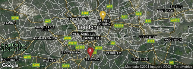

A: London, England, United Kingdom, B: London, England, United Kingdom

In 1890 the City & South London Railway (C&SLR, now part of the Northern Line) opened between Stockwell and the now closed original terminus at King William Street. It was the first "deep-level" electrically operated railway, and the first railway to use electric traction.
"When opened in 1890, the line had six stations and ran for 3.2 miles (5.1 km) in a pair of tunnels between the City of London and Stockwell, passing under the River Thames. The diameter of the tunnels restricted the size of the trains, and the small carriages with their high-backed seating were nicknamed padded cells." (Wikipedia article on City & South London Railway, accessed 01-07-2013).