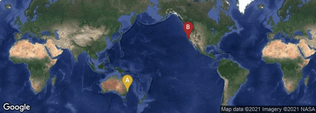
A: Sydney, New South Wales, Australia, B: Mountain View, California, United States
Google Maps originated in a C++ program designed by Lars and Jens Rasmussen of Where 2 Technologies in Sydney, Australia. They designed the program to be separately downloaded by users, but pitched it to Google as a Web-based product. Google acquired the company in October 2004. At Google it was transformed into the web application Google Maps. In the same month, Google acquired Keyhole, a geospatial data visualization company, and aspects of Keyhole technology were also incorporated into Google Maps.
Google Maps expanded its coverage and features at an extraordinary rate even for web developments, and its open A.P.I was incorporated into a remarkable number of websites, including this one. On December 12, 2013 The New York Times published an article entitled "Google's Road Map to Global Domination," from which I quote:
"Today, Google’s map includes the streets of every nation on earth, and Street View has so far collected imagery in a quarter of those countries. The total number of regular users: A billion people, or about half of the Internet-connected population worldwide. Google Maps underlies a million different websites, making its map A.P.I. among the most-used such interfaces on the Internet. At this point Google Maps is essentially what Tim O’Reilly predicted the map would become: part of the information infrastructure, a resource more complete and in many respects more accurate than what governments have...."