 Jeremy Norman’s
HistoryofInformation.com Exploring the History of Information and Media through Timelines
Jeremy Norman’s

A: London, England, United Kingdom, B: London, England, United Kingdom
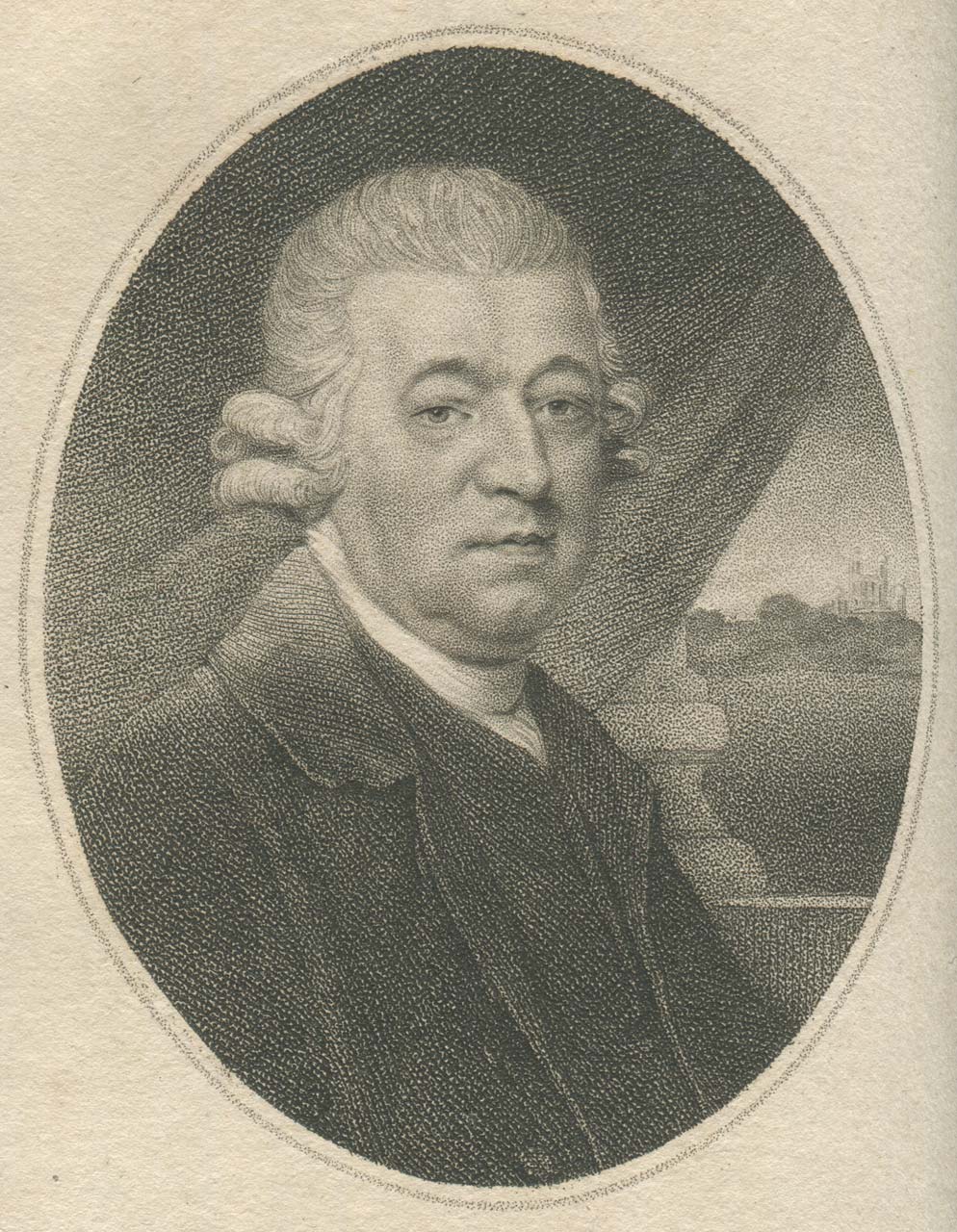
In 1766 the British Government sanctioned Nevil Maskelyne, the Astronomer Royal, to produce each year a set of navigational tables, to be called the Nautical Almanac. This was the first permanent mathematical table-making project in the world.
Known as the "Seaman's Bible," the Nautical Almanacs, first published in 1767, greatly improved the accuracy of navigation. However, the accuracy of the tables in the Nautical Almanacs was dependent upon the accuracy of the human computers who produced them, working by hand and separated geographically in an early example of organized but distant collaboration.
The main innovative feature of the inaugural issue for 1767 was the tabulation of lunar distances as a tool to facilitate the determination of longitude at sea from observations of the Moon.[7]
By the early nineteenth century, the time of Charles Babbage, these tables became notorious for their errors, providing Babbage the incentive to develop mechanical systems, which he called calculating engines, to improve their accuracy.

