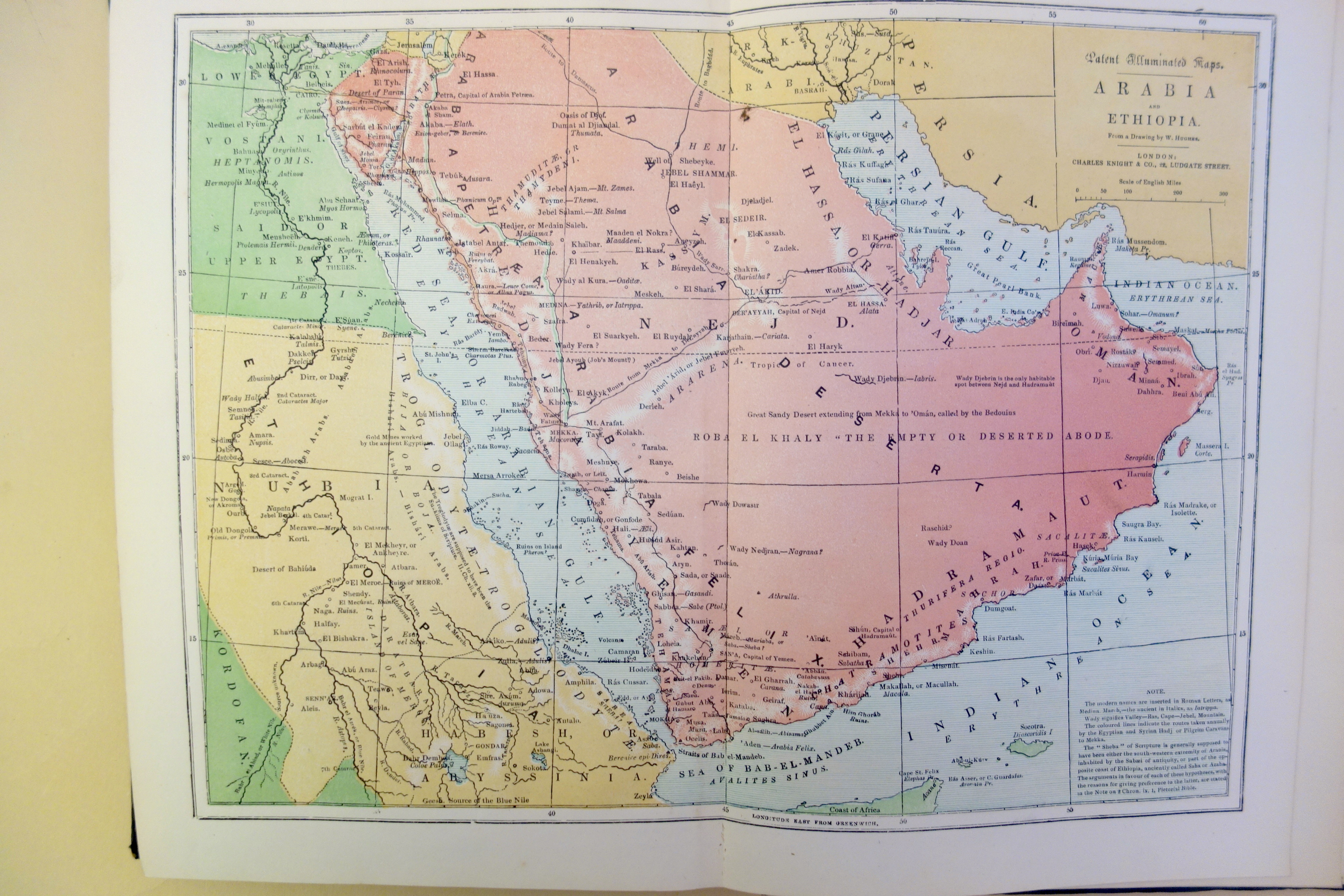
Perhaps the most visually attractive of the "illuminated maps" printed by Knight's patented process (1840) as issued in Knight's Illuminated Atlas of Scripture Geography. This process of color-printing maps does not appear to have been used for any maps except those printed by William Clowes for Charles Knight.