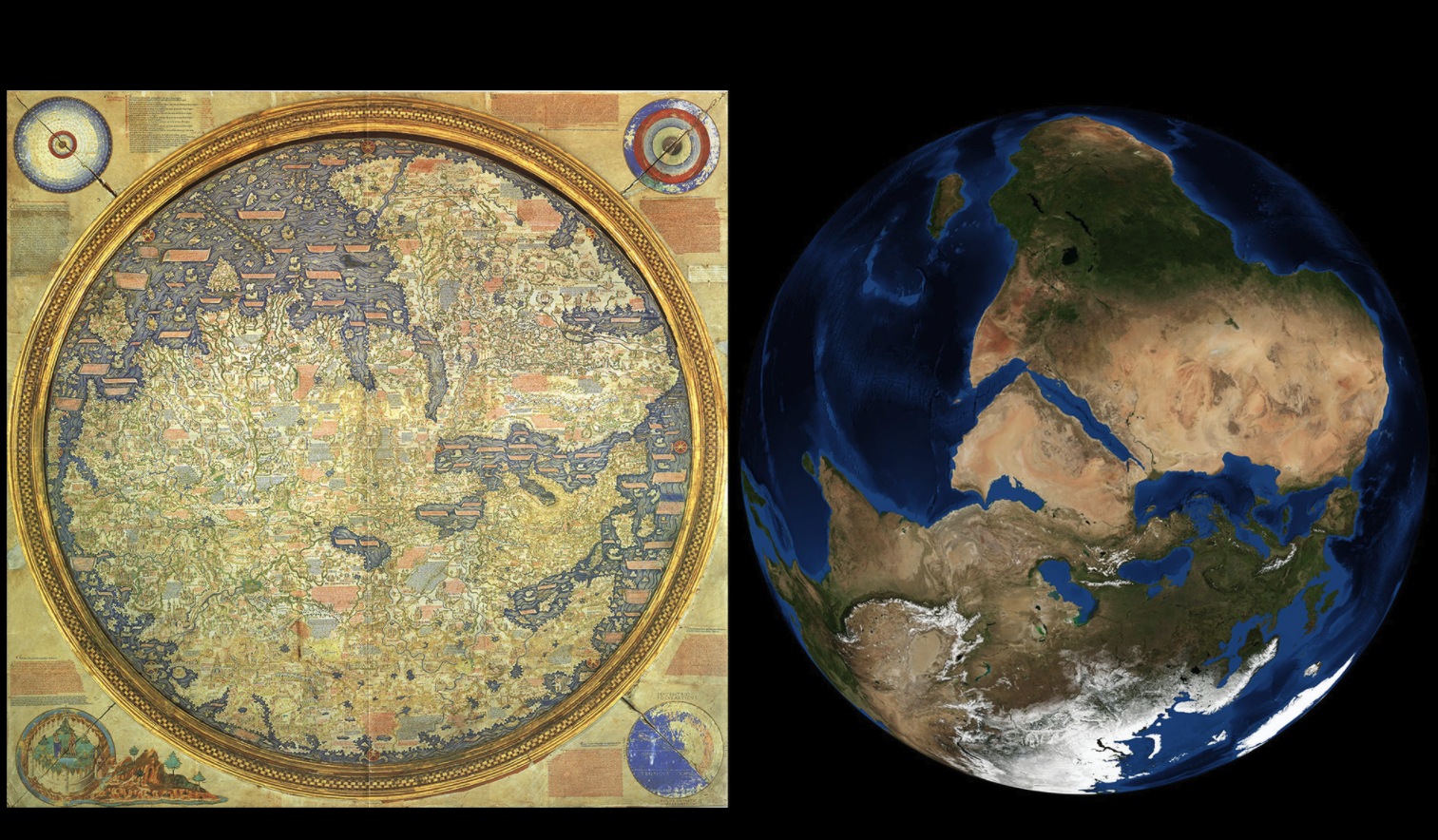
A comparison made  by NASA of the Frau Mauro World Map from 1450 CE and a satellite image of Earth, rotated to correspond to the map. The satellite image - the Blue Marble - was created using data from the MODIS instrument onboard the Terra and Aqua satellites.  "NASA describes the comparison as "stunning" and notes how accurate parts of the map are considering the methods that were available at the time." (Wikipedia)

A comparison made  by NASA of the Frau Mauro World Map from 1450 CE and a satellite image of Earth, rotated to correspond to the map. The satellite image - the Blue Marble - was created using data from the MODIS instrument onboard the Terra and Aqua satellites.  "NASA describes the comparison as "stunning" and notes how accurate parts of the map are considering the methods that were available at the time." (Wikipedia)

Visit Entry