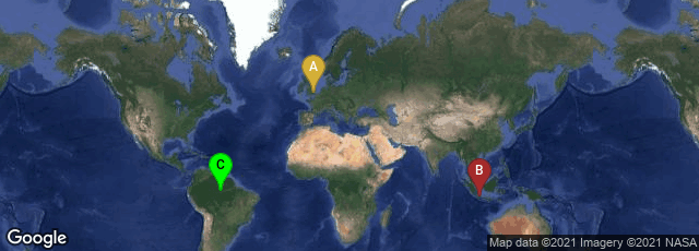
A: London, England, United Kingdom, B: Daerah Khusus Ibukota Jakarta, Indonesia, C: State of Amazonas, Brazil
In 1876 British naturalist, explorer, and evolutionist Alfred Russel Wallace published The Geographical Distribution of Animals through Macmillan publishers in London. Wallace studied the fauna of the Malay archipelago and was struck both with its resemblances to and differences from that of South America, where he did extensive research in the Amazon rainforest. His research expanded into this extensive 2-volume work—the first comprehensive world-wide study of zoogeography, illustrated with numerous thematic maps, including the first global biodiversity map, a map of zoogeographic regions of the world.
Wallace's biodiversity map was not formally updated until December 2012: Holt, Lessard et al "An Update of Wallace's Zoogeographic Regions of the World," Science DOI: 10.1126/science.1228282.
"Wallace recognized that the world is divided into so-called biogeographic regions, which today we know reflect the breakup of the continental plates roughly 200 million years ago. As the former mega-continent of Pangaea split apart, the evolutionary branches of those species cleaved off from one another. Millenniums of isolation following this divergence led to Australia’s wildly unique marsupials, for example, and Madagascar’s beloved lemurs. Wallace recognized these differences and produced a map identifying six major global biodiversity regions. Other maps have been produced since, but for this new effort, the researchers decided to take into account not only the current distribution of vertebrates, but also how they relate genetically.
“ 'Genetic sequencing allowed us to do things that weren’t possible before,' Dr. Lessard said. 'Looking at these evolutionary links allows us to know which parts of the world are more closely related to other parts of the world.' With a team of 14 international colleagues, Dr. Lessard helped compile and analyze the phylogenetic relationships of 21,037 species of amphibians, birds and mammals. Whereas Wallace highlighted six major animal realms, the team identified 11, and within those realms made 20 regional distinctions. The results were published online today by the journal Science.
"A few surprises turned up in their analyses. For example, new realms in Central America, East Asia and Oceana emerged. The northernmost stretches of the Canadian tundra make more sense grouped with the Palearctic realm, which encompasses Siberia, Europe and North Asia, than with North America’s Nearctic realm. 'Apparently, plant people kind of informally recognized that grouping in the past,' Dr. Lessard said. 'But for animals, I’ve never seen a map of biogeographic regions showing that connection.'
"The dividing lines will soon be uploaded and freely accessible on Google Earth, and the researchers hope to add information detailing which big animal families are found in each realm and region for curious citizens or researchers to explore" (http://green.blogs.nytimes.com/2012/12/21/a-biodiversity-map-version-2-0/?src=rechp, accessed 12-23-2012).