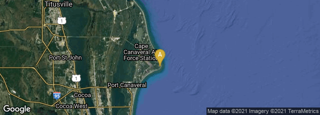

On July 26, 1963 the first geosynchronous communications satellite, Syncom 2, was launched by NASA on a Delta rocket B booster from Cape Canaveral. "Its orbit was inclined rather than geostationary. . . The satellite successfully kept stationary at the altitude calculated by Herman Potočnik Noordung in the 1920s.
"During Syncom 2's first year, NASA conducted voice, teletype, and facsimile tests, as well as 110 public demonstrations to acquaint people with Syncom's capabilities and invite their feedback. In August 1963, President John F. Kennedy in Washington, D.C., telephoned Nigerian Prime Minister Abubakar Balewa aboard USNS Kingsport docked in Lagos Harbor; the first live two-way call between heads of state by satellite. The Kingsport acted as a control station and uplink station' (Wikipedia article on Syncom, accessed 05-24-2009).