
Left side, 3 panels of the Kunyu Wanguo Quantu, A Map of the Myriad Countries of the World, by Matteo Ricci. Library of Congress.
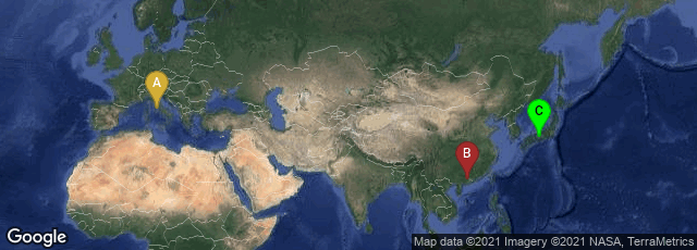
A: Città del Vaticano, Vatican City, B: Duanzhou Qu, Zhaoqing Shi, Guangdong Sheng, China, C: Yoshidahonmachi, Sakyō-ku, Kyoto, Kyoto, Japan

Right side, 3 panels of the Kunyu Wanguo Quantu, A Map of the Myriad Countries of the World, by Matteo Ricci. Library Congress.
Drawn by Jesuit missionary, sinologist and polymath, Matteo Ricci, Kūnyú Wànguó Quántú (坤輿萬國全圖 ("A Map of the Myriad Countries of the World") issued in 1602 was the first European-style world map in Chinese. Five feet (1.52 m) high and twelve feet (3.66 m) wide, it was printed from six large woodblocks and intended to be mounted on a folding screen.
"Drawing of the map followed a first primitive map by Ricci, printed in 1584, named Yudi Shanhai Quantu (舆地山海全图). made in Zhaoqing, in 1584 by the Jesuit priest, Matteo Ricci. Ricci was one of the first Western scholars to live in China, master of Chinese script and the Classical Chinese language. Ricci created smaller versions of the map at the request of the governor of Zhaoqing at the time, Wang Pan, who wanted the document to serve as a resource for explorers and scholars.
"Later, Ricci was the first Westerner to enter Peking, bringing atlases of Europe and the West that were unknown to his hosts. The Chinese had maps of the East that were equally unfamiliar to Western scholars. In 1602, at the request of the Wanli Emperor, Ricci collaborated with Mandarin Zhong Wentao, technical translator Li Zhizao. and other Chinese scholars in what is now Beijing to create what was his third and largest world map.
"In this map, European geographic knowledge, new to the Chinese, was combined with Chinese information to create the first map known to combine Chinese and European cartography. Among other things, this map revealed the existence of America to the Chinese. Ford W. Bell said: 'This was a great collaboration between East and West. It really is a very clear example of how trade was a driving force behind the spread of civilization.'
"Several prints of the map were made in 1602. Only seven original copies of the map are known to exist and only two are in good condition. Known copies are in the Vatican Apostolic Library Collection I; Vatican Apostolic Library Collection II; Japan Kyoto University Collection; collection of Japan Miyagi Prefecture Library; Collection of the Library of the Japanese Cabinet; a private collection in Paris, France and one recently sold in London (formerly in a private collection in Japan). No examples of the map are known to exist in China, where Ricci was revered and buried.
"Ferdinand Verbiest would later develop a similar but improved map, the Kunyu Quantu in 1674" (Wikipedia article on Impossible Black Tulip, accessed 01-13-2010).
In December 2009 The James Ford Bell Trust announced that in October 2009 it had acquired for the James Ford Bell Library at the University of Minnesota, Minneapolis, one of the two "good" copies of the Kūnyú Wànguó Quántú from Bernard J. Shapero, a noted London dealer in rare books and maps in London, for $1 million. This was the second most expensive map purchase in history after the Library of Congress purchase of the Waldseemüller World Map. The James Ford Bell copy previously was in a private collection in Japan.
The first public exhibition of the Kūnyú Wànguó Quántú was held at the Library of Congress in January 2010.

Left side, 3 panels of the Kunyu Wanguo Quantu, A Map of the Myriad Countries of the World, by Matteo Ricci. Library of Congress.
