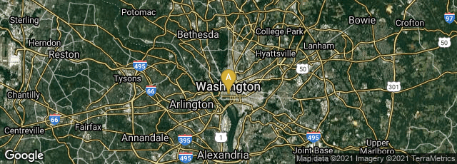
Screenshot of the FCC map of Fixed Broadband Deployment as of 8-31-2020.
On February 17, 2011 The National Broadband Map (NBM), a searchable and interactive website that allows users to view broadband availability across every neighborhood in the United States, was first published, and available online. When I revised this entry in August 2020 the map was retitled Fixed Broadband Deployment and published at www.broadbandmap.fcc.gov.
The NBM was created by the U. S. National Telecommunications and Information Administration (NTIA), in collaboration with the Federal Communications Commission (FCC), and in partnership with 50 states, five territories and the District of Columbia. The NBM is a project of NTIA's State Broadband Initiative. The NBM was originally scheduled to be updated approximately every six months.