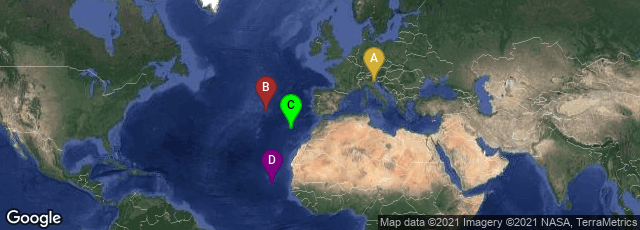
A: Venezia, Veneto, Italy, B: Ponta Delgada, Açores, Portugal, C: Sâo Martinho, Funchal, Madeira, Portugal, D: Picos, São Salvador do Mundo, Cape Verde
In 1482 printer Erhard Ratdolt of Venice issued Pomponius Mela's Cosmographia geographia. The edition included Dionysius Periegetes, De situ orbis. The woodcut world map in Ratdolt's edition was the first printed map to reflect the early voyages of the Age of Discovery. Published only three years after the 1479 Treaty of Alcacovas, in which Portugal secured the Guinea coast, the Azores, Madiera, and the Cape Verde Islands, the map modified the traditional Ptolemaic rendering of western Africa to depict a more accurate, up-to-date coast, showing the Portuguese discoveries through the 1460s and 1470s that were absent from contemporary and preceding Ptolemaic maps and atlases, and a clear southeastern trend along the cost of west Africa.
"No earlier printed map recognized this important step towards the rounding of the Cape of Good Hope in 1488, and no map in the incunable editions of Ptolemy reflected this knowledge" (Campbell, Earliest Printed Maps, 91).
ISTC no.: im00452000. In October 2020 a digital facsimile was available from the Biblioteca Nazionale Marciana at this link.