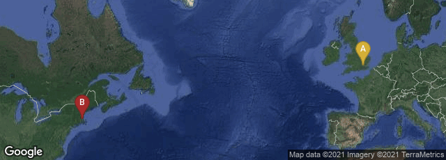
A: London, England, United Kingdom, B: Boston, Massachusetts, United States
In 1677 printer John Foster of Boston published A Narrative of the Troubles with the Indians in New-England, from the first planting thereof in the year 1607 to this present year. . . To which is added a Discourse about the Warre with the Pequods in the year 1637. By W. Hubbard, Minister of Ipswich. This book contained a woodcut map captioned "Map of New-England, Being the first that was ever was here cut," with the legend "The White Hills" in the general region of the White Mountains. This was the first map engraved and published in New England and it predated by five years the earliest datable map published in Latin America.
"From June 1675 to the autumn of 1676 New England experienced an epidemic of Indian fights known ever since as King Philip's War. The Indians almost won it. Before the end of 1677, eight accounts of the war had been published in London, one of them in verse. The best of them was in the picturesque prose of the Reverend William Hubbard, teacher of the First Parish in Ipswich, Massachusetts. Foster printed a Boston edition of it in the spring of 1677; Thomas Parkhurst published a London edition a surprisingly short time later.
"Hubbard's narrative of King Philip's War is distinguished among books in that it contained the first map ever engraved and published in America. This deservedly famous production (first American map and first book illustration in one) bears no name of cartographer, engraver, or printer. But in the words of an eminent and cautious scholar, Lawrence C. Wroth, it has been 'generally conceded to be the work of John Foster.' It is the best known of Foster's engravings and the least rare. Randolph G. Adams, in his valuable study of Hubbard's Narrative, gave the locations of sixty-two maps in 1939 still in copies of the book.
"The map shows New England from Nantucket to Pemaquid Point and from New Haven almost to the White Mountains. It's orientation is odd in that it looks west instead of north. This is not uncommon among early maps of the Atlantic coast. People were still mentally in Europe; their maps tended to look across the ocean. The Foster map is a fairly primitive example of the wood engraver's art. It suggests the woodcut maps of 150 years earlier rather than the typical European copperplate map of the seventeenth century. . . .
". . . . The Forster map is printed from a block incised on the plank or side grain of the wood, probably with a knife. It measures roughly 12 by 14 inches. Needless to say, it is very unlikely that a genuine example exists without the creases resulting from being folded into the book" (Holman, "Seventeenth-Century American Prints," Prints in and of America to 1850, Morse (ed) [1970] 37-40, 41-43).
Hamilton, Early American Book Illustrators and Wood Engravers 1670-1870, Vol. I (1968) No. 2.
Shadwell, American Printmaking. The First 150 Years (1969) No. 2, plate 2. Shadwell's No. 3 and plate 3 describe a variant state of Foster's map prepared to illustrate the English edition of Hubbard's book published in London by Thomas Parkhurst in 1677. In that version the caption "White Hills" in the Boston version was replaced by "Wine Hills."