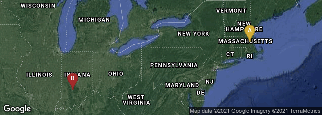

A: Cambridge, Massachusetts, United States, B: Bloomington, Indiana, United States
In 2010 Katy Börner,
Professor of Information Science at the School of Library and Information Science, Adjunct Professor at the School of Informatics and Computing, Adjunct Professor at the Department of Statistics in the College of Arts and Sciences, Core Faculty of Cognitive Science, Research Affiliate of the Center for Complex Networks and Systems Research and Biocomplexity Institute, Member of the Advanced Visualization Laboratory, Leader of the Information Visualization Lab, and Founding Director of the Cyberinfrastructure for Network Science Center at Indiana University in Bloomington, IN and Visiting Professor at the Royal Netherlands Academy of Arts and Sciences (KNAW) in The Netherlands,
published Atlas of Science: Visualizing What We Know in Cambridge, Massachusetts at MIT Press. This spectacular full color oblong folio book with an historical orientation represented one of the most original and certainly one of the most beautiful scholarly works ever published in the history of science. It grew out of an exhibit, Places & Spaces: Mapping Science, a ten year exhibition program that went public in 2005. This exhibit, which pulled together the work of numerous collaborators, was
"meant to inspire cross-disciplinary discussion on how to best track and communicate human activity and scientific progress on a global scale. It has two components: the physical part supports the close inspection of high quality reproductions of maps for display at conferences and education centers; the online counterpart provides links to a selected series of maps and their makers along with detailed explanations of how these maps work. The exhibit is a 10-year effort. Each year, 10 new maps are added resulting in 100 maps total in 2014."