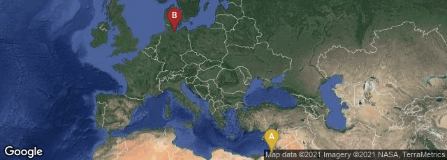
A: Jerusalem, Jerusalem District, Israel, B: Lübecker Altstadt, Lübeck, Schleswig-Holstein, Germany
The map of the Holy Land, with Jerusalem in its center, published in Rudimentum novitiorum sive chronicarum historiarum epitome issued in Lübeck on August 5, 1475 by printer Lucas Brandis, is considered the first modern printed map because it was derived from original Medieval observations rather than classical sources, such as Ptolemy of Alexandria. The geographical information on the map was derived from a now-lost manuscript map made in the 13th century by Burchard of Mount Sion, a German Dominican pilgrim in Palestine for 10 years between 1274 to 1284, and author of Descriptio Terræ Sanctæ.
Brandis's version of Burchard's map presents a bird's-eye view of Palestine oriented with the east at the top, with the walled city of Jerusalem in the center, Sidon and Damascus in the north, and the Red Sea in the south. Various Biblical scenes are depicted including Moses on Mount Sinai receiving the Ten Commandments, God appearing before him in the burning bush, and Pharaoh's men drowning in the Red Sea. Eight heads around the periphery represent the winds and compass directions.
Brandis's map was preceded in printed literature only by Isidore's simple T-O schematic diagram (1472). His map precedes the first published atlas - an edition of Ptolemy's classical geography (Bologna, 1477) by two years.
In November 2014 a facsimile of Brandis's complete Rudimentum novitiorum, containing the map of the Holy Land, was available from the Bayerische Staatsbibliothek at this link.
ISTC No. ir00345000. Laor, Maps of the Holy Land , 128. Campbell, The Early Printed Maps 1472-1500, 214.